Objectives
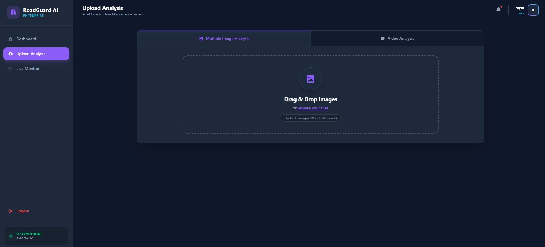
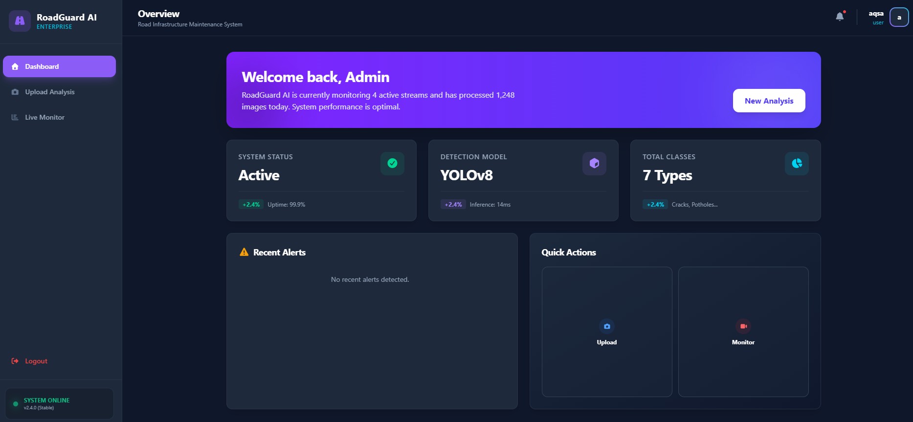
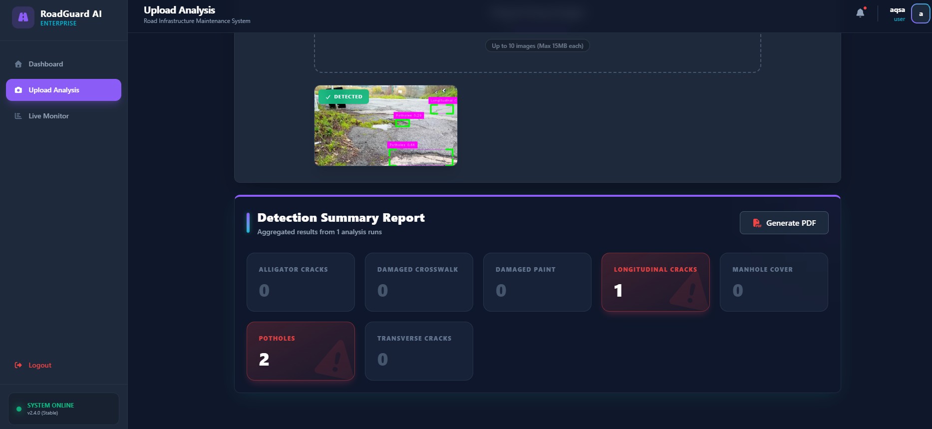
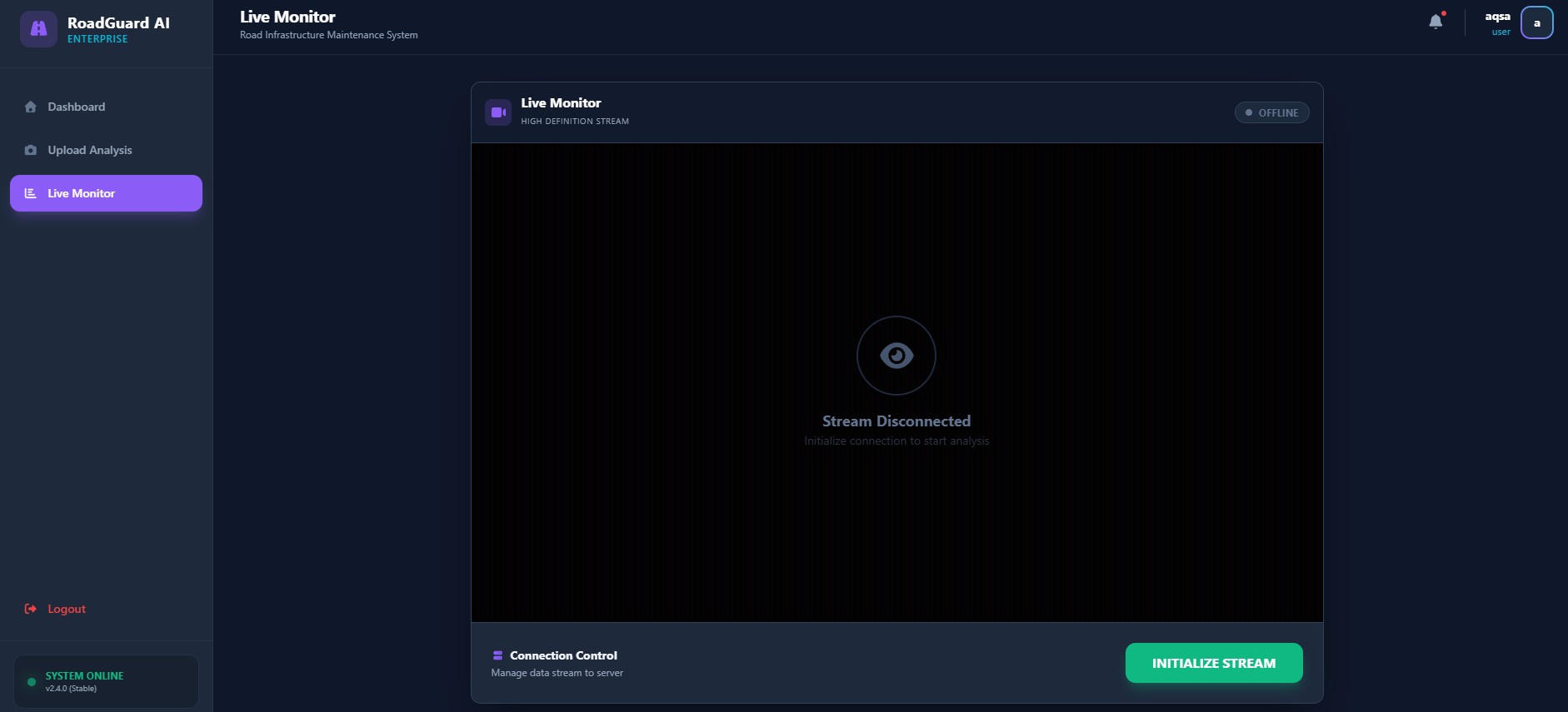
The objective of this project is to develop an AI-Based Road Damage Detection System that can automatically detect and classify different types of road surface damages using deep learning and computer vision technologies. The system uses the YOLOv8 object detection model to identify road defects such as potholes, longitudinal cracks, transverse cracks, alligator cracks, damaged crosswalks, damaged paint markings, and manhole cover damages from images, videos, and live camera feeds. The project aims to provide real-time road monitoring with improved accuracy and reduced manual inspection effort. Another major objective is to integrate GPS-based location tracking so that each detected road defect can be associated with precise coordinates for easier maintenance planning. The system also generates automated PDF reports containing damage categories, total counts, confidence scores, timestamps, and GPS locations. A user-friendly interface developed using Streamlit and React allows users to upload images/videos, perform detections, view results, and download reports easily. The project further aims to support smart city infrastructure management by enabling faster, data-driven, and cost-effective road maintenance solutions.
Socio-Economic Benefit
The AI-Based Road Damage Detection System offers significant socio-economic benefits by improving road safety, transportation efficiency, and infrastructure management. Poor road conditions often lead to road accidents, vehicle damage, traffic congestion, and higher maintenance expenses. By automating the road inspection process using artificial intelligence, the system reduces dependency on slow and labor-intensive manual inspections. This helps government authorities and maintenance teams quickly identify damaged road areas and prioritize repairs efficiently. Faster road maintenance reduces accidents and minimizes vehicle repair costs for the public. The system also helps save time, manpower, and operational expenses for municipal corporations and highway authorities. Through GPS-based reporting and real-time monitoring, authorities can make better data-driven decisions for road repair planning and resource allocation. The project supports smart city initiatives by enabling intelligent infrastructure monitoring and improving the quality of transportation systems. Additionally, improved road conditions contribute positively to economic activities by ensuring smoother transportation of goods and people while enhancing public satisfaction and urban development.
Methodologies
The project follows a deep learning and computer vision based methodology for automated road damage detection. Initially, road damage datasets are collected from datasets, online sources, and local road images. The collected data is preprocessed through cleaning, resizing, annotation, and augmentation techniques to improve model performance and accuracy. The YOLOv8 object detection model is then trained on multiple categories of road damages to enable accurate classification and localization of defects. OpenCV is used for image and video processing, while the SORT tracking algorithm is integrated for tracking detected damages across video frames and preventing duplicate counting. The system supports three types of input: uploaded images, uploaded videos, and real-time live camera feeds. GPS integration is implemented to capture location coordinates associated with detected road damages. Streamlit and React are used to develop an interactive and user-friendly interface for performing detections and viewing results. FPDF is used to generate downloadable PDF reports containing damage details, confidence scores, timestamps, and GPS coordinates. The final system is tested for performance, reliability, and usability before deployment on local or cloud platforms such as React Cloud.
Outcome
The final outcome of this project is a fully functional AI-Based Road Damage Detection System capable of detecting and classifying multiple road defects in real-time using deep learning techniques. The system successfully detects potholes, cracks, damaged road markings, and other road defects from images, videos, and live camera feeds with high accuracy using the YOLOv8 model. The integration of the SORT tracking algorithm improves stability and avoids repeated counting of damages in video streams. GPS-based location tracking allows authorities to identify the exact location of damaged road sections for efficient maintenance planning. The application generates automated PDF reports summarizing detected damage categories, total counts, timestamps, confidence scores, and coordinates. The user-friendly interface enables inspectors and authorities to easily upload media, perform detections, monitor live feeds, and download reports. Overall, the project demonstrates how artificial intelligence, computer vision, and automation can improve road inspection efficiency, reduce maintenance costs, support smart city infrastructure, and enhance public road safety and transportation management.